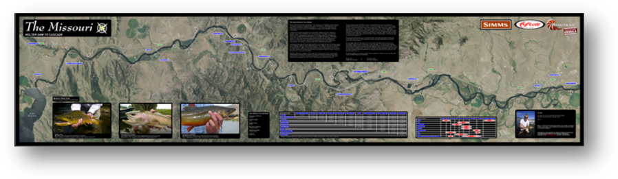
Missouri RiverHolter Dam to Cascade17"x72"
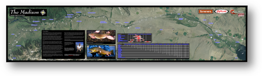
Upper MadisonQuake Dam to Clutes17"x72"
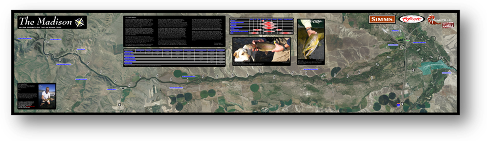
Lower MadisonWarm Springs to The Headwaters
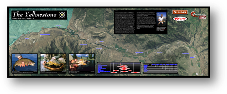
Yellowstone Up HighConfluence to Carbella17"x48"
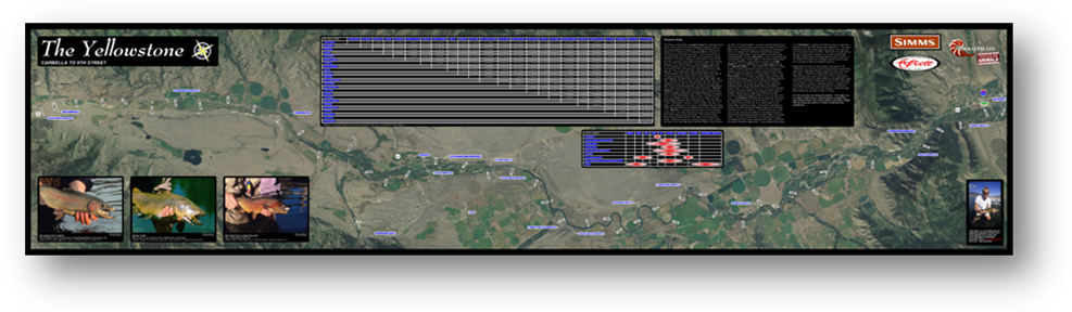
Yellowstone - Paradise ValleyCarbella to 9th17"x72"
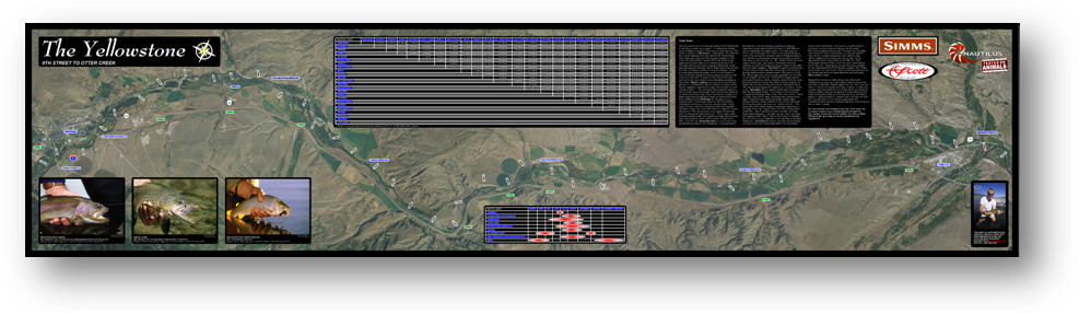
Yellowstone - Town Down9th to Otter Creek17"x72"
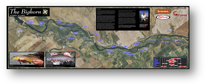
The HornAfterbay to 13 Mile17"x48"